I've just had a few days goodness-knows-where... in grassy mountains of the Transkei, near Lesotho. It was completely new terrain for me - passing through towns and villages that I never even knew existed. I was out there to help a friend with scouting for an event he's been working on. He needed a navigation-runner person to link some sections of the route. I'll tell you more about the event when he's ready to let the cat out of the bag.
I haven't played with 1:50,000 topographical maps for a while so it took a bit to get my eye into distance judgement and interpreting the contour lines - reading the gradients of slopes and adjusting to what hills are and aren't represented. The 20-metre contour interval is quite a height.
My companion for this outing was Wayde, an old AR friend. A most suitable adventure companion - strong on foot. On Monday we approached the first section and were instructed to find a route from where we were to a pick-up point on a road - some distance away. We were also to consider water-drop options, that could be accessible by vehicle.
 |
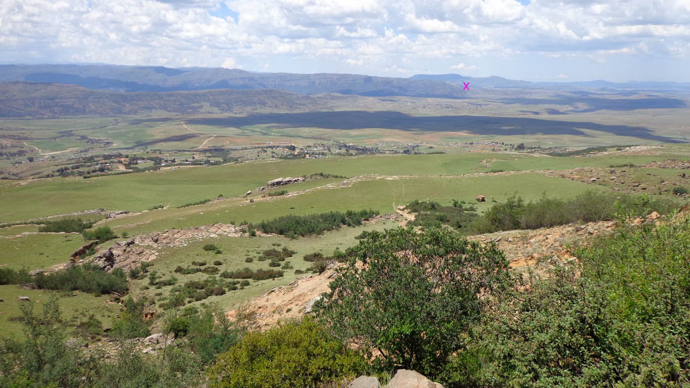
| We started from here - where the photo is taken from. And heading for about the point on ridge where the down-arrow is pointing - and then along the ridge. |
What a most wonderful outing we had! We didn't run, but instead walked - enjoying the scenery, taking photos, encountering friendly locals and looking at route options. And what a pleasure to have a map in hand and to just go anywhere we wanted to.
 |
| Wayde at a river crossing. |
 |
| A little baby dung beetle with a little baby dung ball. |
 |
| Loads of horses out here. Baby season too. This foal is all legs. |
 |
| Lookin'back. That purple X... that's where the landscape photo above was taken from. Our start point. |
 |
| We found these really cool rocks. Table top-like and just standing there on top of a mountain surrounded by grass. |
 |
| Flowers! |
And then that was the end of a glorious Day 1.
For Day 2 we had a shorter outing - with no maps. We were essentially on part of a hiking trail. I was itching for maps because in terms of a race route Wayde and I think that there's a much better route option. The hiking trail is beautiful and sometimes a little difficult to follow - so it made for a nice little '
sans maps' adventure.
 |
| Nice start to the section - rock art. |
 |
| Cattle country. Also lots of sheep and goats. |
 |
| Our find of the day! Wayde spotted this rock pool at the end of a spur, a bit off the trail. We went to investigate. to the left and right and ahead of the pool, the spur just drops away with cliffs. It's not a deep pool - maybe 15-20cm of water - but potential for a nice little splash when filled with rain water. |
 |
| Mr Froggy |
A good two days of play (and a day of travel either side to get there). A wonderful treat to visit a part of South Africa that I've never been to and to navigate new routes. I do get a kick out of route planning.


No comments:
Post a Comment