A BIG outing today. Danzilles Road up to the start of the trail was already tough - straight up like a VK route. And then the first part of the trail just continued going up up up. Around 400m climb in less than 2km. Today I decided to do the Dengue Loop. From the start of the trail, the loop and back is listed at 8.4km and hard.
I ran from my uncle's house which adds another 2-odd kays each way - I planned to take another trail on the return.
My route was anti-clockwise. Thank goodness. This western side of the Dengue Loop is little used, overgrown, has tree falls and is very indistinct. I lost the trail a few times and resorted to Strava's gist of the trail to get me back on track. At times I thought I'd be spending the night out there.
That's the trail going through there. Very visually indistinct. By cutting vegetation, the route will be more visually significant.
Pretty. I had a good drink here. I must have downed about 2.5 litres on the route and could have done even more. My clothing was completely saturated from sweat. I stopped taking scenic photos after this. With only 2hrs until sunset I needed to focus on getting out of there.
From a bit after the furtherest end of the loop, the trail is more used and easier to follow. From the wetland, shown as a lake on the map, it is a veritable highway. By the time I hit this section I was pretty wasted from a lot of scrambling and climb.
The easier, open trail after Mare aux Cochons, a high altitude freshwater wetland, restored me so I could actually run again. Lots of climb today, lots of sliding and crawling.
On the way back I stuck with the Mare aux Cochons trail, which sort of contours above the suburbs. It looks like it has been used as a 4x4 road in the past.
I tried to find a trail that would drop down onto my uncle's road - there should be one - but knowing where it is (certainly at the end of someone's property) is the challenge. I ended up following the tar road, logging a few extra kays. I chose a side road that looked like it would have a trail at the end of it that would to down into a suburb near the main road. I bumped into a guy who confirmed this to be so and he even led me to the start of the stairway. And then a trot through the suburb to get home.
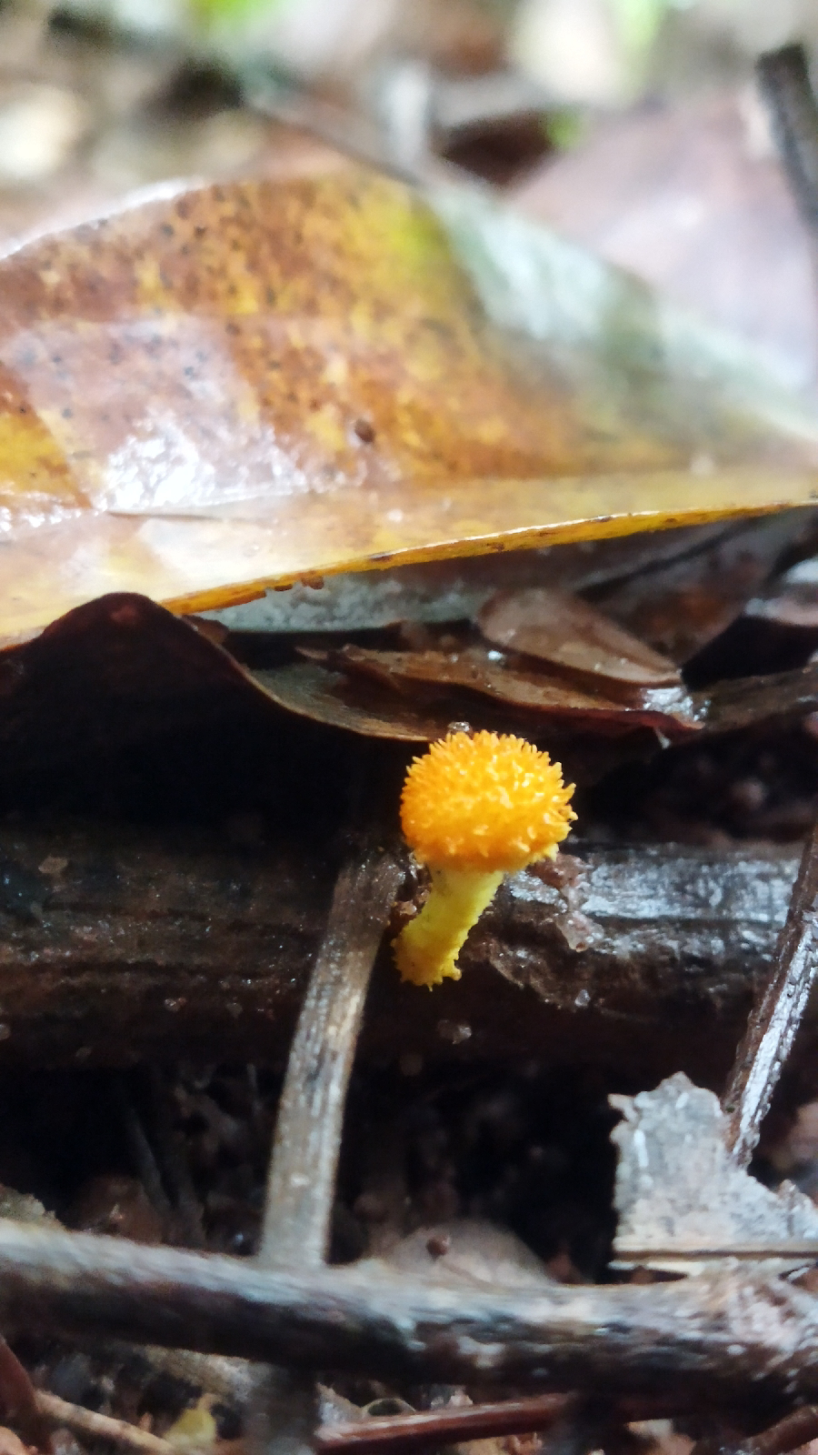
I found lots of fungi. Loaded about 15 different ones on to iNaturalist.
This was adventurous outing. That western side is more adventure racing than hiking... I certainly wouldn't recommend it until trail maintenance has been done and there are refreshed trail markers. The yellow stripes painted on to some rocks are too few and they don't stand out.
When my mom was here a few years ago she joined a hike. She said the trail and markings were quite bad. Some tourists got lost on the same trail for a few days - a big search was coordinated to find them. I can see people getting lost quite easily on the western side of the loop.
Still, it was a good outing and I am glad to have done it and made it out.


No comments:
Post a Comment