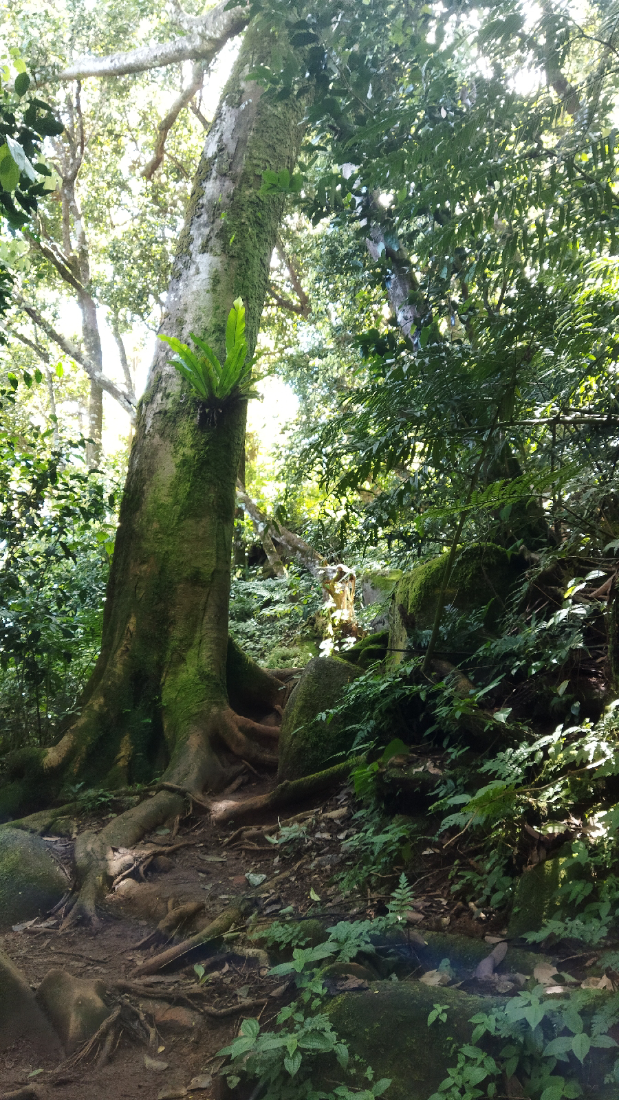
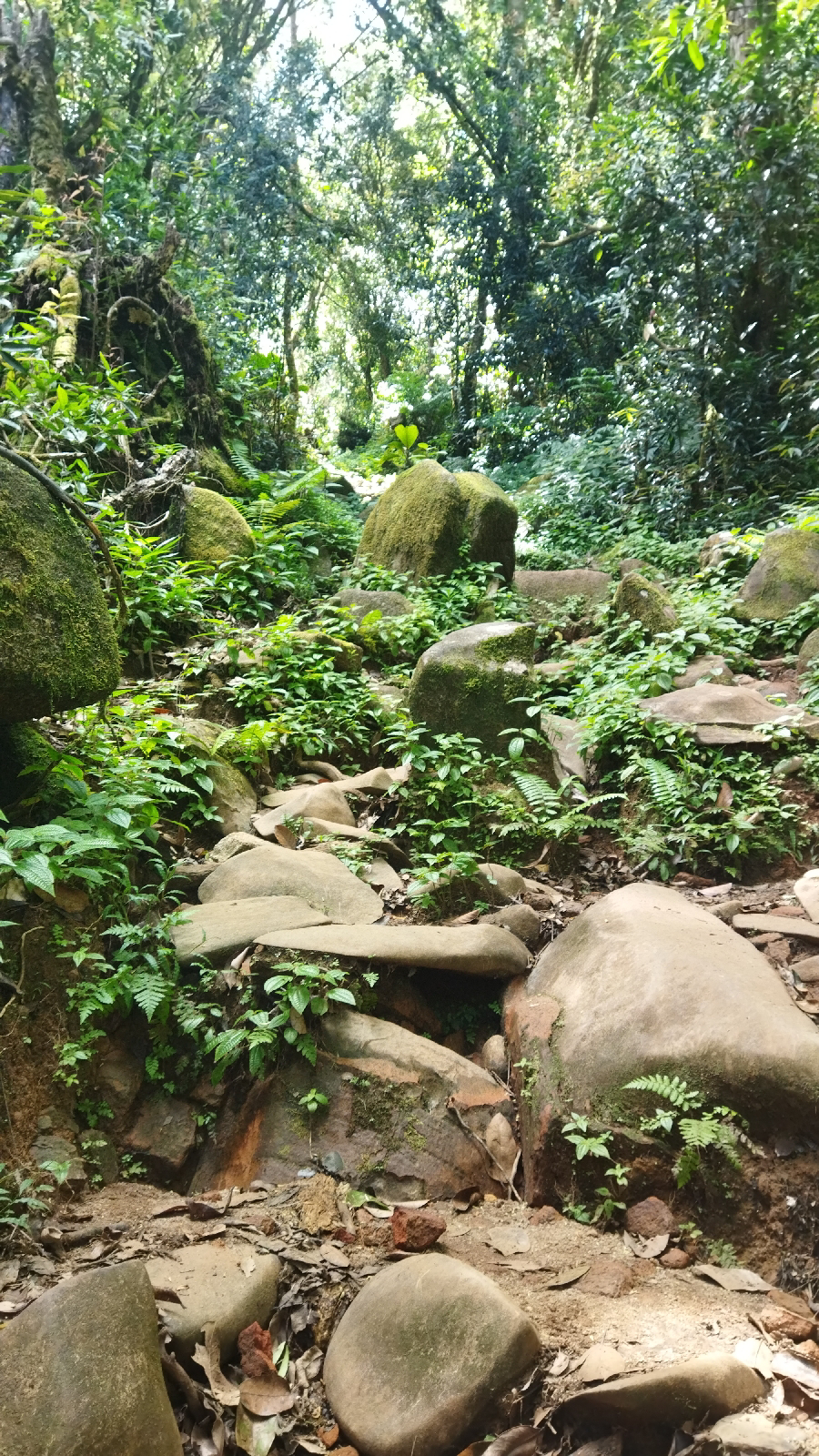
Today, my plan was to do Trois Frere and Morne Seychellois trails - trailheads near each other - but instead I did Trois Frere and Morne Blanc trails.
According to the lady at the ticket office at the trailhead for the first two, I needed to start Morne Seychellois by 12 noon (I was there at 12h10) and that a guide was compulsory. I asked whether the trail was badly marked. She said that it takes about 4hrs and it is too long - indicating that people have probably had to be rescued or assisted in the past. Having seen tourists with a mix of abilities and the difficulty of the trails, I can totally understand this move. After enough 'situations', inconvenient (to me) rules get implemented.
According to Alltrails.com, which I've been using, Morne Seychellois is 3.7km and average time is 2h48. It is graded as hard, which is up my alley and the same grading as most of the trails. Considering that I usually take a bit faster than the average time - including taking photos of fungi - I would have been able to knock it off no problem. With a week of steep trails in my legs I'm climbing like a mountain goat. Anyway... I gave it a skip (for today).
Trois Frere was one of the more friendly upward trails (not as steep and with decent footing) with a lovely view. My Strava didn't save the log for it.
A local chap I met up there recommended the Morne Blanc trail for a good view of the western side of the island.
I headed up and over the island on the San Souci road to Morne Blanc.
I saw a few other people either going up or down. View from the top was totally worth it as I've only been seeing the eastern and northern sides of the island from the trails I've done.
I've been lucky with the weather. We've had some rain but it has been briefly at night or in the morning, leaving me with clear, sunny views.
I then headed into town to visit the National Museum of History. It is in a beautiful, historic house. The exhibits are very well done, neatly presented and informative. An hour is enough time to work through the rooms, reading the descriptions. I was super impressed with an 1890 map created of Mahe. It showed not only the island but also the interior, mountains and property ownership. Most area names that exist now, and roads, are the same as then.


No comments:
Post a Comment